

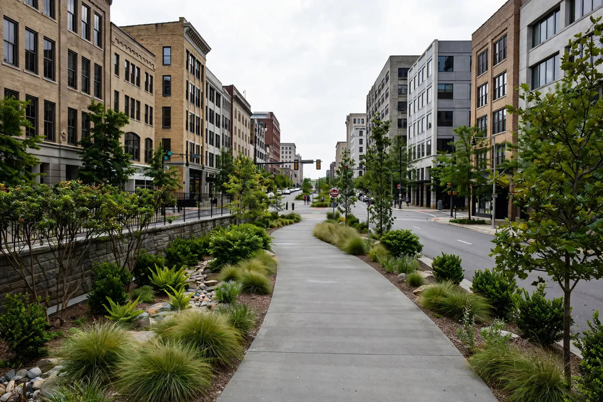
Rotary Trail Park is a landscaped four-block walking, running and biking path in downtown Birmingham, Alabama. Built in a former railroad right-of-way known as a cut, it offers a compact route through the city and connections toward other parts of the Red Rock Trail System.
- Location: downtown Birmingham
- Length: 0.4 miles, with a concrete surface
- Access: steps and ramps connect the trail to three intersections
What and where Rotary Trail Park is
Rotary Trail is a four-block urban pathway set in a former railroad cut in downtown Birmingham. The Rotary Club of Birmingham describes it as a gift to the community for the club’s 100th anniversary; the project cost $3.5 million.
The City of Birmingham includes Rotary Trail among its city parks. The Rotary Club describes the path as the heart of the Jones Valley Trail Corridor within the Red Rock Trail System, with links toward Railroad Park and Sloss Furnaces. That wider connection makes the trail part of a larger network rather than an isolated downtown path.
The Rotary Club oversees routine maintenance and upkeep through gifts to its foundation, and members hold service days throughout the year to clean and beautify the trail.
Planning a walk on the trail
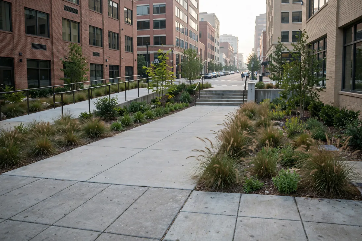
Rotary Trail is 0.4 miles long, and its concrete surface accommodates walking and wheelchair use. For a short outing, follow the four-block path and use the connected intersections to enter or leave along the way.
Steps and ramps connect the trail to Richard Arrington Jr. Boulevard, 22nd Street and 23rd Street. TrailLink identifies the endpoints as 2400 1st Ave S and 2000 1st Ave S in Birmingham, which can help you orient your route.
Rotary Trail is about a 26-minute walk from Kings Inn Civic Center/UAB, where rooms for a visit to the trail are available.
Access, hours and practical details
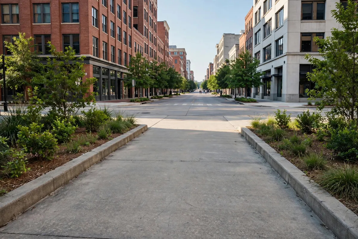
The trail has access at three intersections, with steps and ramps connecting it to the surrounding streets. The city includes it in its parks list, and the City of Birmingham’s parks page provides a way to find park maps.
Opening hours
- Monday to Sunday: 7 AM–11 PM
Last checked November 2026. Hours can change on holidays and for special events.
For a map and current access details, check the official site before you go.
If you want to build a longer downtown walk around the trail, the one-day downtown Birmingham itinerary on foot covers a broader city walk.
Nearby downtown stops to pair with the walk
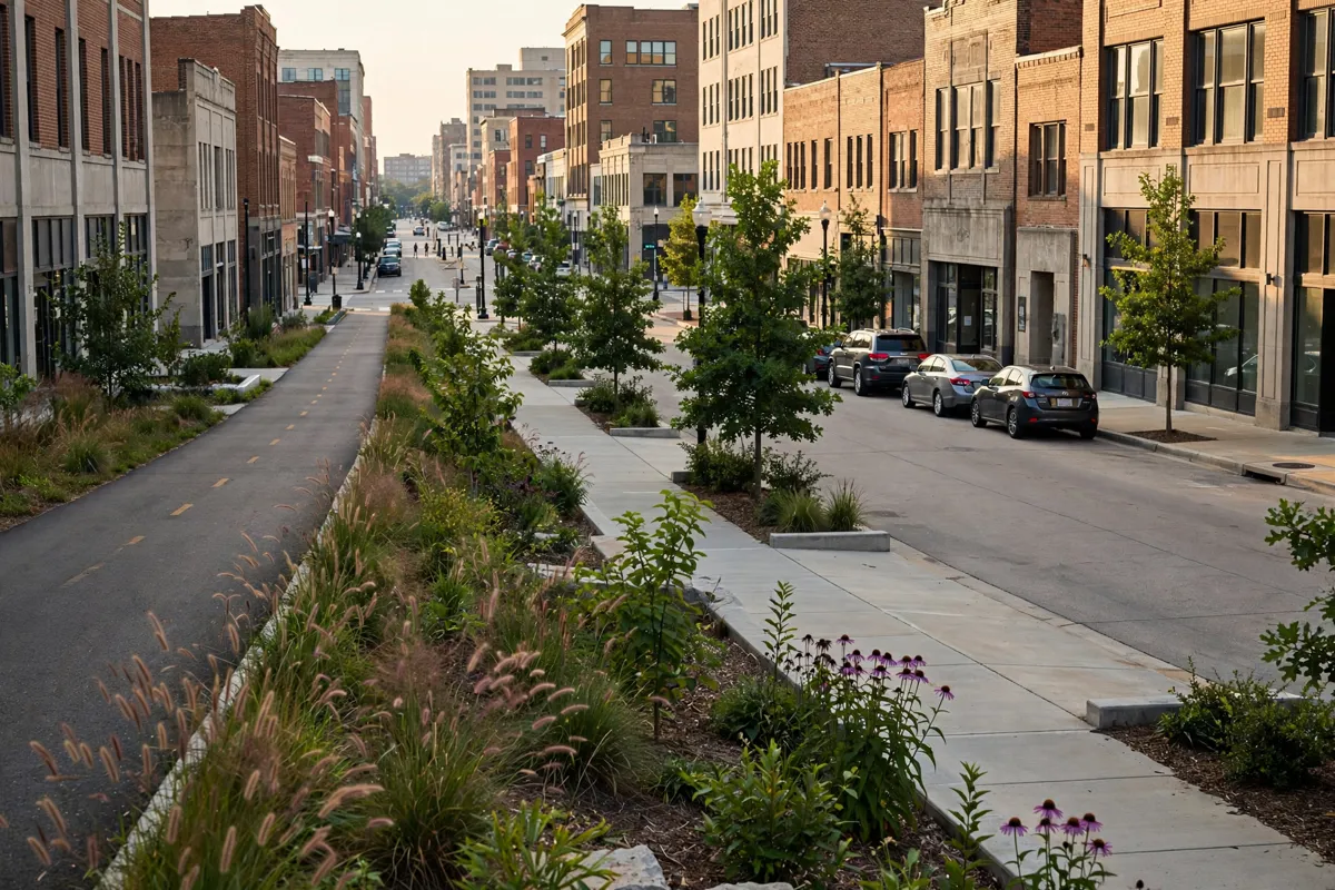
Rotary Trail sits within a downtown corridor that connects toward Railroad Park and Sloss Furnaces.
For more city context beyond the route, the Birmingham Civil Rights Institute visitor guide can help you plan a separate stop in the area.
The trail’s four-block length keeps the walk compact; its connections to the wider corridor give you a way to extend your outing. Choose an entry point at one of the three connecting intersections, walk the path, then continue toward another part of the trail system if that fits your plans.
FAQs
How long is Rotary Trail?
TrailLink describes the route as 0.4 miles long, with endpoints at 2400 1st Ave S and 2000 1st Ave S.
Is Rotary Trail accessible to wheelchair users?
TrailLink includes wheelchair accessibility among the trail’s activities. Steps and ramps connect it to three nearby intersections.
What is Rotary Trail’s surface?
The path has a concrete surface.